

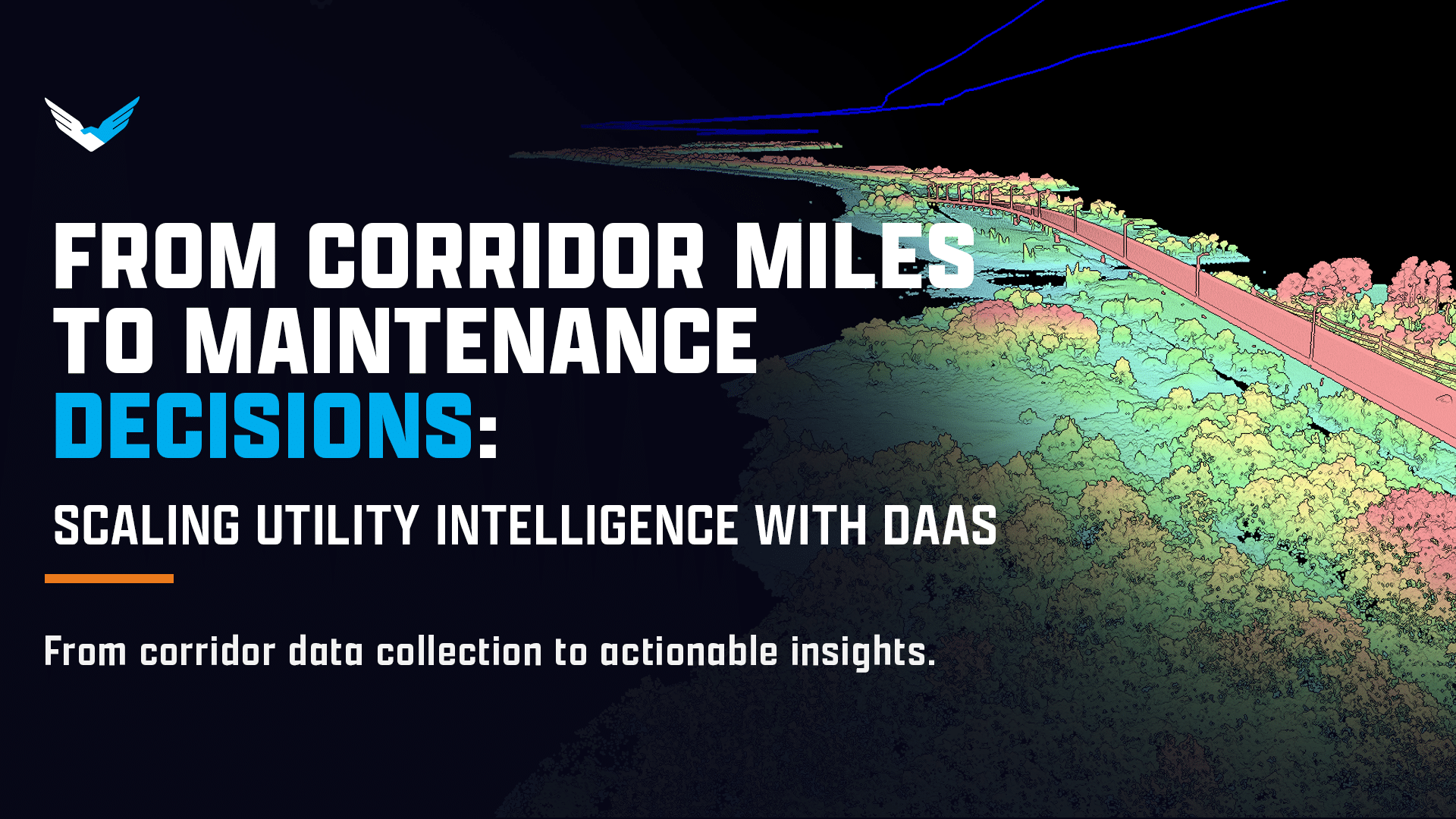
A utility can collect thousands of images, point clouds, and sensor files and still struggle to make a maintenance decision. The real challenge is not simply covering more miles. It is creating a repeatable process that moves from corridor coverage to trusted data, prioritized findings, and completed work.
Transmission corridors, distribution feeders, access routes, and rights of way stretch across large and difficult-to-reach areas. One-off drone flights may provide useful snapshots, but they do not create a scalable inspection strategy. Utilities need a way to collect data consistently, process it without creating an internal backlog, and deliver findings in formats that GIS, vegetation management, asset management, and field operations teams can use.
That is where Drones as a Service (DaaS) can provide value. A DaaS model gives utilities access to aircraft, crews, BVLOS operations support, mission planning, sensor selection, data collection, processing, reporting, and asset intelligence through one service model. The goal is not simply to fly farther. It is to cover more corridor miles while preserving quality, reducing operational complexity, and shortening the time between data capture and maintenance action.
Why isn’t flying more miles enough?
Volume becomes meaningful only when the resulting data supports a decision. A utility may increase aerial collection and still create a larger backlog if the data requires manual processing, arrives in inconsistent formats, or remains disconnected from existing GIS and work-order systems.
A scalable utility drone inspection program must preserve three things as volume increases:
- Quality: Data must be consistent, processed, and suitable for the intended engineering or operational use.
- Ease: The utility should not have to coordinate every aircraft, crew, payload, approval, processing workflow, and reporting requirement independently.
- Actionability: Findings must connect to maintenance priorities, dashboards, GIS layers, work orders, or other operational outputs.
This is especially important for utility corridor inspection. A transmission or distribution program may need recurring coverage across hundreds or thousands of miles. It may also need different data types for different decisions, including RGB detail for visual verification, LiDAR drone mapping for three-dimensional clearance analysis, thermal data for thermal anomalies, and multispectral data for vegetation health signals.
More files do not automatically create more intelligence. A larger backlog of unprocessed data is not scale.
How does DaaS help utilities scale without adding the same level of complexity?
DaaS packages the operational layers required to make aerial intelligence repeatable. Depending on the mission, the service can include:
- Mission scoping and route planning
- Aircraft and sensor selection
- Certified flight crews and field operations
- BVLOS planning and regulatory support
- RGB, LiDAR, thermal, EO/IR, or multispectral data collection
- Data ingestion, processing, and quality control
- AI-assisted detection and triage
- GIS-ready datasets, dashboards, reports, and work-order outputs
This model allows a utility to procure an outcome rather than assemble an aviation program one component at a time. The utility can define the corridor, inspection cadence, decision requirements, and desired deliverables. The DaaS provider manages the flight and data workflow around those requirements.
DaaS can also complement internal teams. A utility may retain internal capabilities for immediate response, local inspections, or event-triggered work while using DaaS for recurring corridor coverage, specialized sensors, large-volume collection, and data processing. The objective is not to replace every internal operation. It is to extend capacity where long-range coverage, specialized expertise, or processing volume would otherwise limit the program.
What role does BVLOS capability play in corridor coverage?
Long linear assets create a coverage problem. A small multirotor may work well for a substation, a structure, or a short inspection segment, but repeated repositioning can make large corridor programs slower, more difficult to coordinate, and costly.
A fixed-wing VTOL platform can support long-range data acquisition while retaining flexible launch and recovery requirements. The Sentaero 6 supports BVLOS missions across long linear infrastructure, including utility corridors and rights of way. Through Drones as a Service (DaaS), utilities can access that capability without purchasing, maintaining, staffing, and operating the aircraft themselves.
Planning materials for the Sentaero 6 reference a flyer capability benchmark of up to 100 miles per day. These figures should be treated as planning benchmarks, not guaranteed outcomes or fixed aircraft limits. Actual performance depends on route length, weather, airspace, sensor package, launch locations, regulatory requirements, data objectives, and other mission conditions.
The same principle applies to any stated coverage number. Miles flown matter only when the data meets the required quality standard and reaches the people responsible for acting on it.
BVLOS operations also require a safety and regulatory framework. Under current FAA guidance, routine commercial BVLOS operations under Part 107 generally require appropriate authorization, including a waiver of the visual line of sight requirement where applicable. Utilities can review the FAA’s Part 107 waiver guidance when evaluating the regulatory foundation for a corridor program.
Censys has experience supporting more than 100 FAA approvals. That experience can help utilities navigate the planning and documentation process, but no prior approval guarantees approval for a specific operation. Each mission remains subject to its operational concept, location, aircraft, airspace, safety case, and applicable requirements.
How does the data workflow turn collection volume into intelligence?
A complete data workflow connects acquisition to an operational decision. The process generally includes four layers.
First, the mission collects the right data. The sensor package should match the decision. RGB detail can help document asset conditions and provide visual context. LiDAR can support three-dimensional modeling, terrain analysis, vegetation clearance measurements, and conductor or structure mapping. Thermal sensors can help identify thermal anomalies. Multispectral data can support vegetation health signals and broader environmental analysis. EO/IR payloads can provide additional visual and thermal perspectives for targeted inspections.
Second, the data is processed consistently. Processing standards should define file formats, coordinate systems, accuracy expectations, naming conventions, quality checks, and delivery timelines. Without these standards, repeated missions may produce datasets that are difficult to compare over time.
Third, analytics identify and organize findings. CensWise serves as the intelligence layer that helps transform raw aerial data into actionable decisions. Depending on the mission, CensWise can support asset inspection, change detection, vegetation management, vegetation health analysis, thermal anomaly review, issue documentation, and prioritization.
Fourth, the findings reach the systems and teams that need them. GIS-ready layers, dashboards, structured reports, and work-order outputs allow maintenance teams to understand what requires attention, where it is located, and why it matters. This connection is what turns aerial intelligence into operational value.
What utility use cases benefit from repeatable corridor coverage?
A repeatable DaaS program can support several operational priorities across transmission and distribution networks:
- Transmission corridor patrols
- Distribution feeder inspections
- Vegetation and wildfire mitigation
- Storm response and damage assessment
- Pre-event condition baselines
- Post-trim verification
- Change detection between inspection cycles
- High-risk circuit surveillance
- Right-of-way mapping and clearance analysis
- Asset condition documentation for maintenance planning
The value of repeatability is particularly clear when a utility needs to compare conditions over time. A consistent route, sensor package, processing method, and reporting format can help teams identify changes rather than review each flight as an isolated event.
Vegetation management provides one example. The NERC FAC-003-5 standard requires applicable transmission owners and generator owners to perform vegetation inspections of 100% of applicable transmission lines at least once per calendar year, with no more than 18 months between inspections on the same right of way. Aerial collection does not replace a utility’s compliance responsibilities, but a repeatable data workflow can help support coverage, documentation, prioritization, and follow-up.
What does scaling cost look like?
Cost planning should consider the full workflow, not just the flight. A utility slick provides the following planning benchmarks:
- Data collection: as low as $150 per mile
- Processing: as low as $50 per mile
- Turnkey total: as low as $200 per mile
Using those benchmarks, a 100-mile mission could be planned as:
- 100 miles of data collection at $150 per mile: $15,000
- 100 miles of processing at $50 per mile: $5,000
- Estimated turnkey total: $20,000
These figures are planning benchmarks, not a fixed quote. Final scope and pricing vary based on sensor package, regulatory requirements, flight environment, launch locations, route complexity, processing requirements, and delivery format.
The important financial question is not only what each mile costs. It is how quickly the utility can move from detection to prioritization and resolution. A lower-cost collection program that leaves teams with weeks of manual processing may not deliver the expected operational value. A complete DaaS workflow accounts for collection, processing, quality assurance, and usable delivery.
What framework can utilities use to scale responsibly?
A practical scaling framework starts with the decision rather than the aircraft.
- Define the decision first.
Identify what the utility needs to decide. Is the objective to prioritize vegetation work, identify asset defects, document storm damage, establish a baseline, or monitor high-risk circuits? The answer determines the route, sensor package, accuracy, cadence, and output format. - Standardize route and sensor requirements.
Create repeatable mission specifications for corridor boundaries, launch locations, altitude, overlap, resolution, sensor combinations, and data capture requirements. Standardization makes results easier to compare across inspection cycles. - Set a repeatable cadence.
Determine whether the program requires annual, seasonal, quarterly, post-event, or risk-based collection. A defined cadence helps teams plan budgets and maintenance capacity before the next dataset arrives. - Establish processing and quality standards.
Specify accuracy, completeness, file formats, metadata, quality checks, turnaround times, and acceptance criteria. These standards protect data quality as volume increases. - Define GIS and work-order deliverables.
Agree on the systems where findings will be used. Deliverables may include GIS layers, dashboards, asset IDs, severity rankings, annotated imagery, reports, or work-order packages. - Measure time from capture to action.
Track the time between data collection, processing, review, prioritization, work-order creation, and field resolution. This metric shows whether the workflow is reducing the distance between aerial data and maintenance action.
How should a utility start with DaaS?
A proof of value provides a practical way to evaluate corridor-scale aerial intelligence before expanding the program. Utilities can choose a representative corridor that reflects their geography, asset types, vegetation conditions, airspace environment, and reporting requirements.
The initial scope should define:
- The corridor and approximate mileage
- The inspection decision the data should support
- The required sensor package
- The BVLOS and regulatory considerations
- The expected processing timeline
- GIS, dashboard, and work-order deliverables
- Data quality and repeatability standards
- Measures for time from capture to action
The utility can then test whether the workflow delivers consistent coverage, useful data, manageable processing, and actionable findings. A successful proof of value should answer more than whether the aircraft can complete the route. It should show whether the complete service reduces operational burden and helps the utility resolve problems faster.
Can DaaS turn more corridor miles into better maintenance decisions?
DaaS gives utilities a way to scale aerial intelligence without scaling aviation and data operations at the same rate. The model combines long-range collection, BVLOS support, specialized sensors, processing, AI-assisted analysis, and operational deliverables in one workflow.
The outcome is not simply more miles flown. It is higher-quality information delivered with less internal coordination and a clearer path to action. When route standards, processing requirements, GIS compatibility, and maintenance outputs work together, corridor coverage becomes a repeatable intelligence program rather than a series of disconnected flights.
To explore a corridor inspection program, Contact a Censys Expert. The team can help scope a corridor, inspection cadence, sensor package, desired deliverables, or Proof of Value.
Leave a Reply