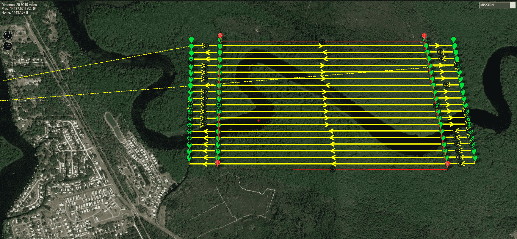
In the world of drone operations, the ability to fly Beyond Visual Line of Sight (BVLOS) opens up a realm of possibilities for mapping and surveying projects. However, obtaining the necessary waivers is crucial to ensure safe and efficient operations. Let’s delve into two types of BVLOS waivers and how they can benefit drone operators in the mapping and surveying industry.
1. Location Specific Waivers
Location specific waivers are tailored to grant permissions for BVLOS operations within a designated geographical area. These waivers are particularly valuable for projects that are recurring or confined to specific sites. By obtaining a location specific waiver, operators can unlock greater operational efficiencies and permissions.
One of the key advantages of location specific waivers is the ability to conduct detailed air and ground risk assessments specific to the designated area. This allows operators to identify potential hazards and develop comprehensive mitigation strategies. With this level of specificity, operators may be granted permissions such as higher altitude operations, reduced visual observer (VO) requirements, and expanded operational areas.
For mapping and surveying projects that are conducted in consistent locations or within defined boundaries, location specific waivers offer a streamlined approach to BVLOS operations. Companies undertaking regular surveys or mapping missions can benefit significantly from the enhanced permissions and operational flexibility provided by these waivers.
2. Performance Based Waivers
In contrast to location specific waivers, performance based waivers are not constrained by geographical boundaries. These waivers provide operators with the flexibility to conduct BVLOS operations across various locations, subject to predefined guidelines and performance criteria.
The versatility of performance based waivers makes them highly valuable for drone operators engaged in diverse mapping and surveying projects. Whether it’s capturing data across expansive territories or navigating through challenging terrain, performance based waivers offer the freedom to adapt to different operational scenarios.
Although the scope of operations permitted by performance based waivers may vary, they significantly reduce the time and effort required to obtain waivers for each specific location. This is particularly beneficial for service providers, resellers, and companies managing large-scale projects spanning multiple regions.
Conclusion
In conclusion, BVLOS waivers play a pivotal role in enabling efficient and safe drone operations for mapping and surveying purposes. Location specific waivers offer tailored permissions for recurring projects within designated areas, while performance based waivers provide flexibility across diverse operational environments.
By leveraging these waivers effectively, drone operators can optimize their workflows, enhance operational capabilities, and unlock new opportunities in the mapping and surveying industry. Whether it’s maximizing efficiency in familiar territories or exploring new frontiers, BVLOS waivers are invaluable assets for driving innovation and progress in aerial data collection.
Watch episode. 3 of the BVLOS Blueprint to learn more about waivers for mapping and surveying.
By Censys Technologies
