Company News
-

Press Release: Censys Technologies to Host Live Public Demonstration of Long-Range BVLOS Drone Mission Across Critical Infrastructure
FOR IMMEDIATE RELEASE A New Era of Inspections Begins: Censys Technologies to Host First-Ever…
-
Why Less Is More When It Comes to Data
Companies on a quest to collect more data are learning some hard lessons. Terabytes of…
-

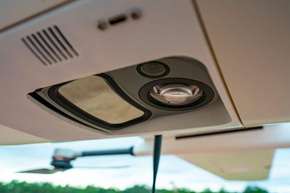
Sentaero 6 Integrates NextVision Raptor 360 EO/IR Gimbal: 360° Persistent Aerial Intelligence for Mission-Ready Operations
Mission-ready data, everywhere. That’s our north star, and it’s what drives every integration we build…
-
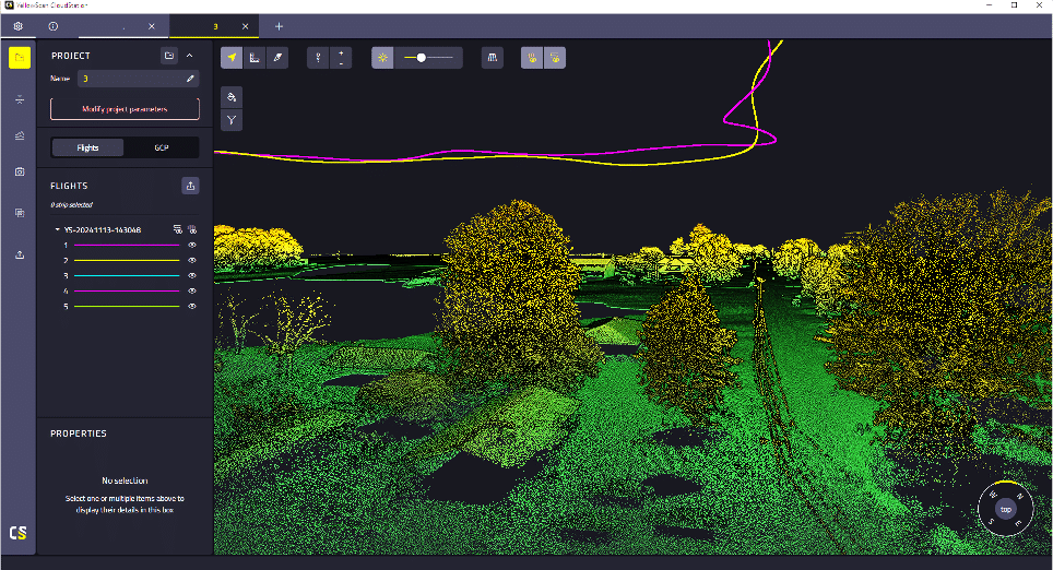
The Sentaero Drone Payload Family Expands with the TrueView 540 Dual Sensor LiDAR
The Sentaero family has added another product member: The TrueView 540 high-performance dual sensor LiDAR…
-
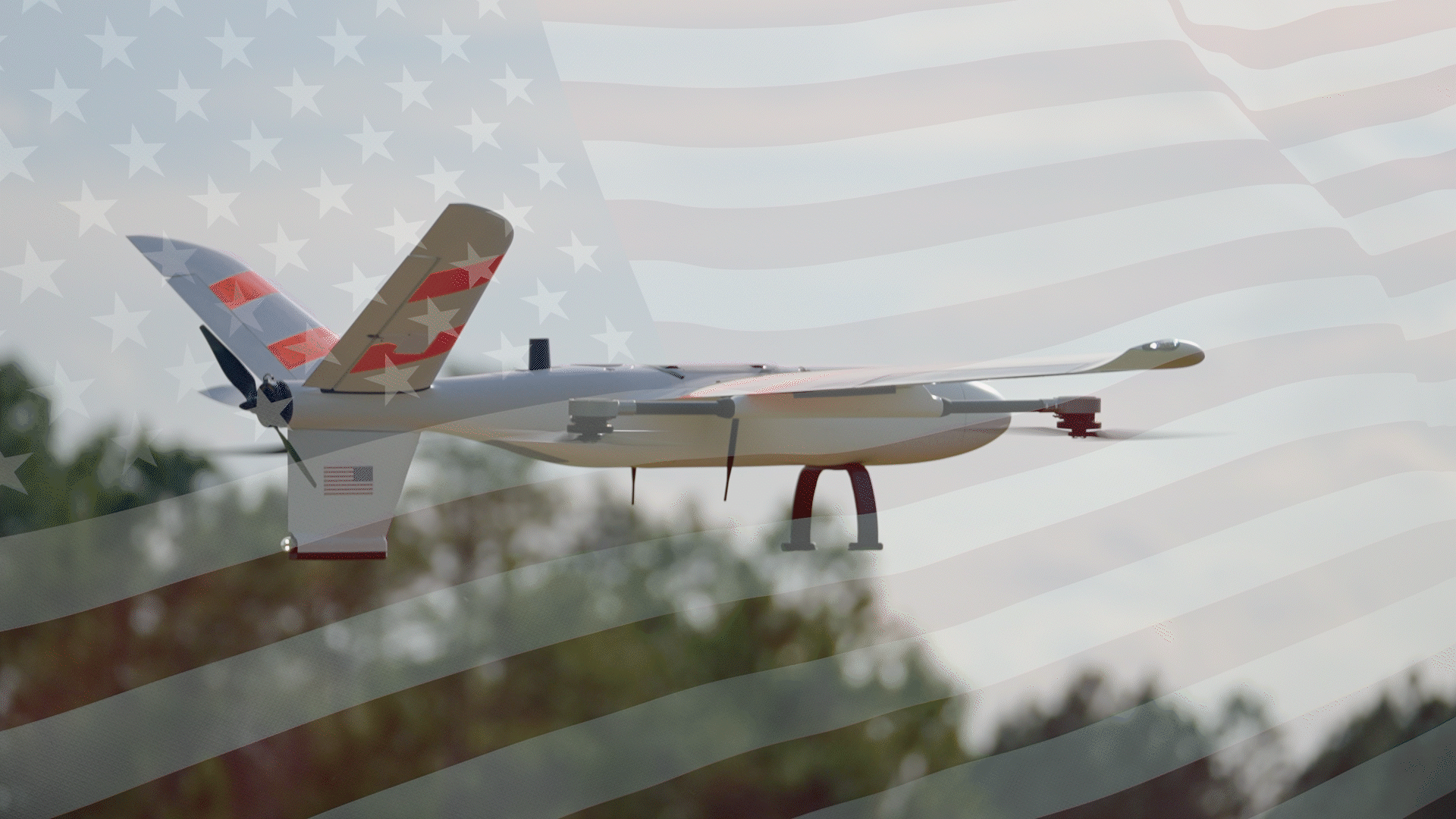
Building Trust in American Skies. One Mission at a Time.
Autonomous flight is reshaping aviation. It also asks an important question. Can we trust the…
-
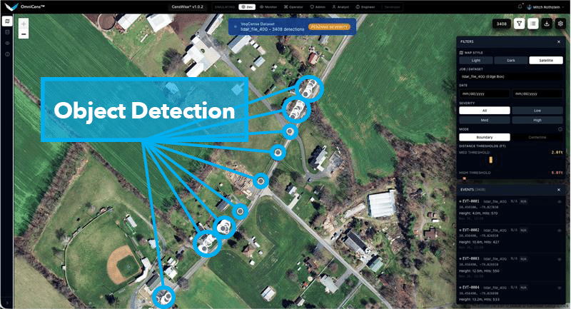
The AI Advantage: How Sentaero Drones Automate Defect Detection
Walk any substation yard or drive along a powerline corridor, and one truth becomes clear:…
-
The Sentaero Advantage
Why Electric Drones Outperform Hybrid Platforms In the drone industry, endurance is everything. The…
-

Censys Technologies Joins Minnesota State Contract for Drone Solutions
Release Date: January, 2025 Censys Technologies is proud to announce its inclusion in the…
-
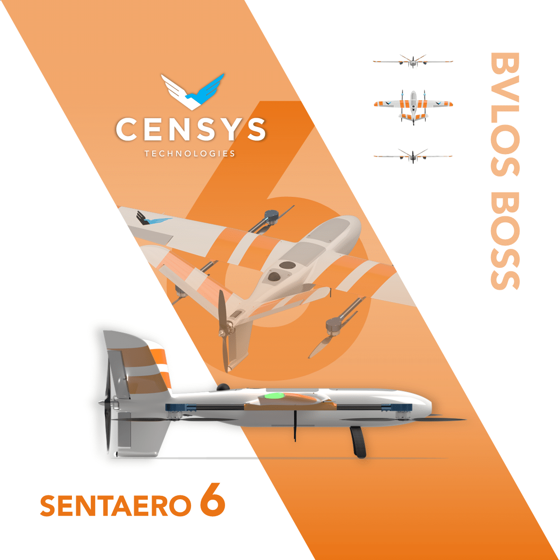
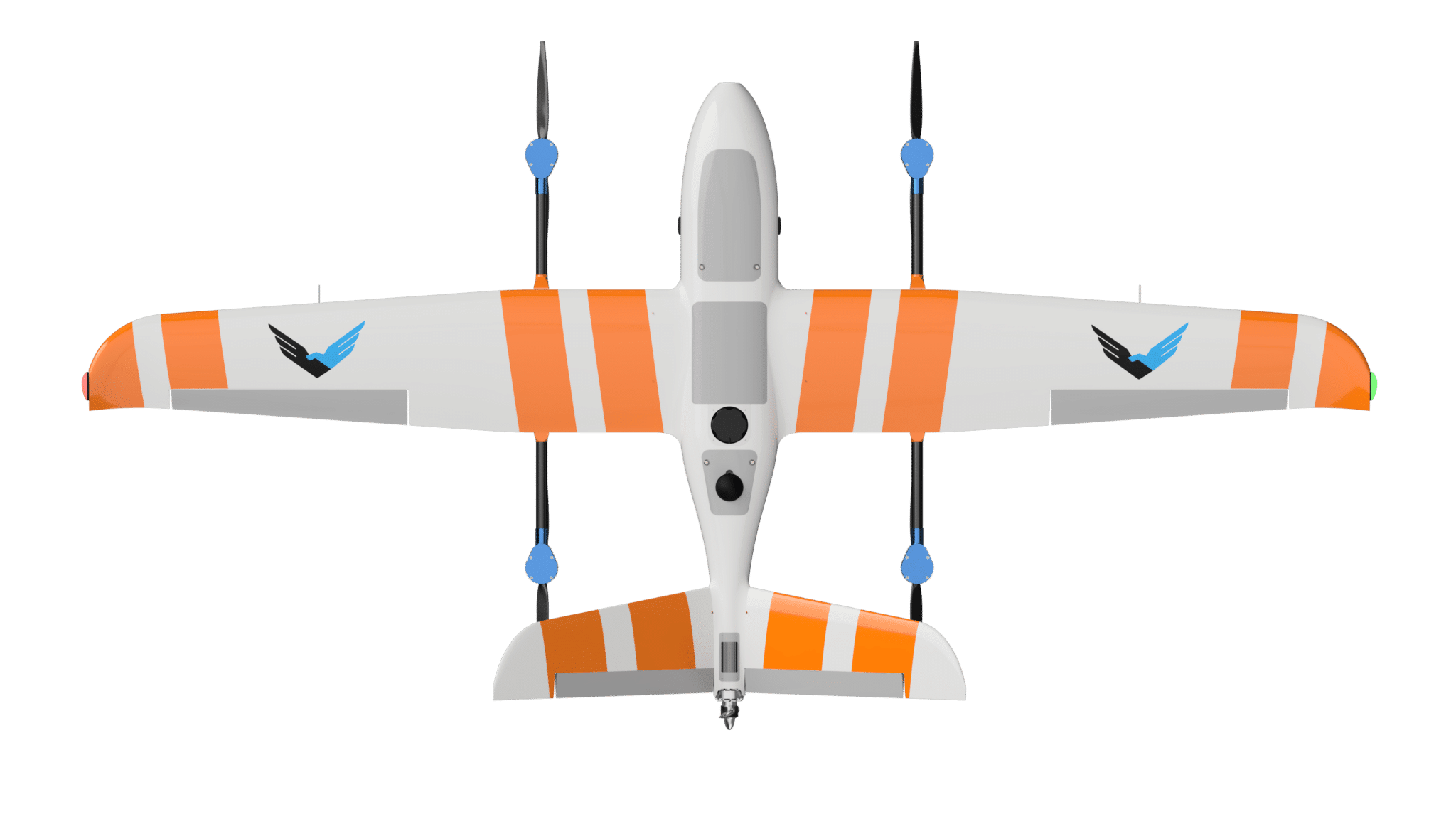
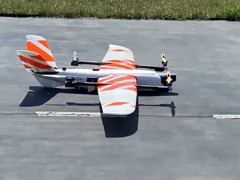
Welcome Sentaero 6: A.I.rborne Asset Intelligence
Release Date: February 3, 2025 In the journey to make commercial Over the Horizon Beyond…
-
When S&T and HSWERX Partner, the Results Are Out of Sight
Release Date: October 10, 2024 Click here to see original article S&T and HSWERX recently…