
CensWise
-
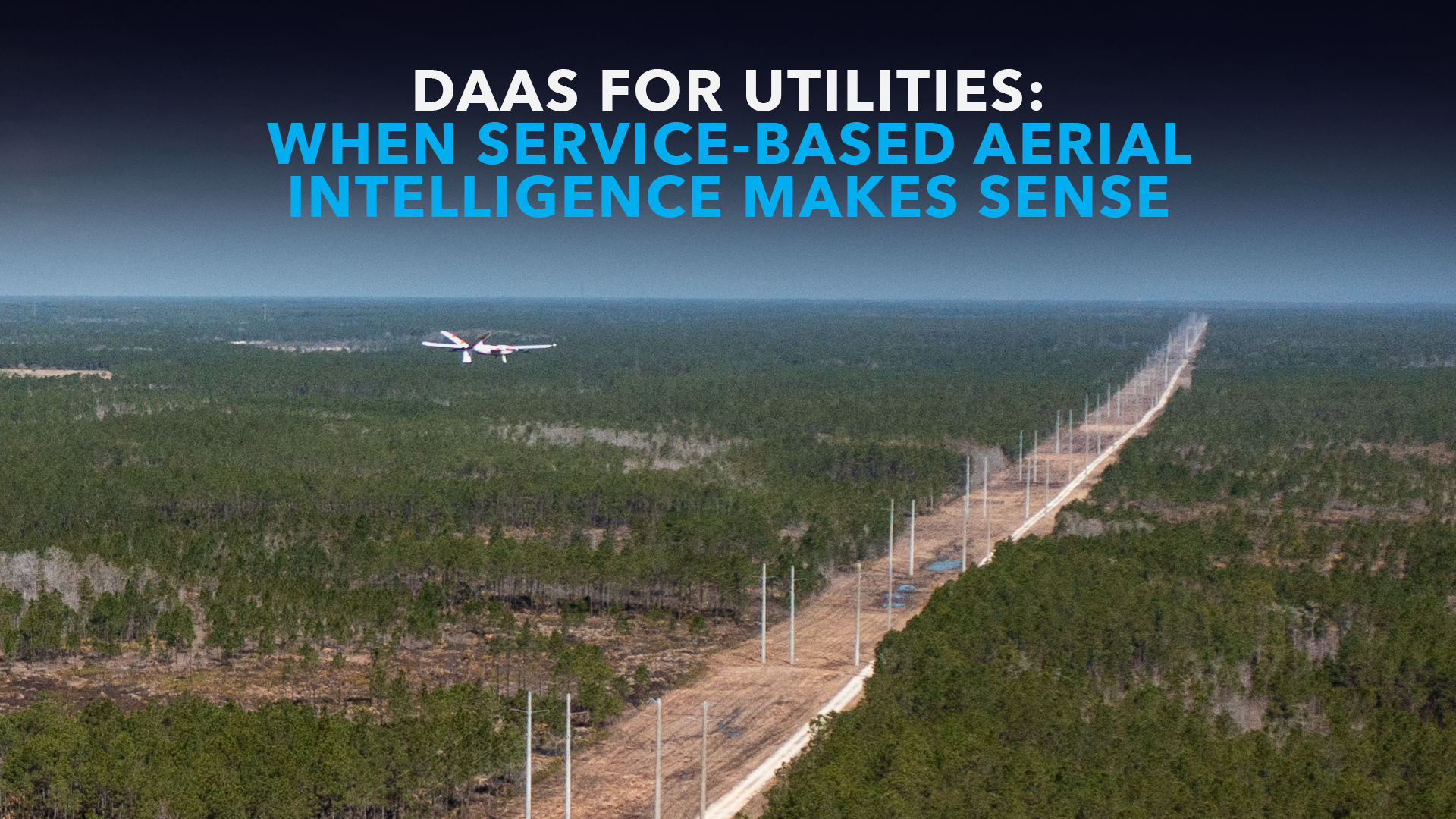
DaaS for Utilities: When Service-Based Aerial Intelligence Makes Sense
In May 2026, Censys Technologies conducted a two-day BVLOS proof of concept for a regional…
-

White Paper: Building the Future of Transportation Infrastructure With the Sentaero 6 Edgedock Network
America’s transportation systems are under growing pressure. State departments of transportation and infrastructure directors are…
-
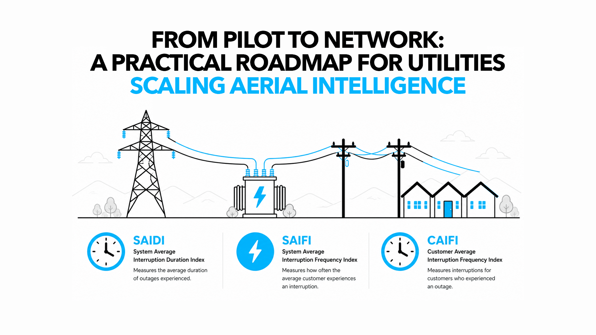
From Pilot to Network: A Practical Roadmap for Utilities Scaling Aerial Intelligence
For many utility executives, the journey into aerial intelligence begins with cautious optimism. A team acquires their…
-
Drone as a Service (DaaS): The Fastest Path to Aerial Intelligence for Utilities
Many utility organizations start their drone journey with a clear vision: a fleet of autonomous…
-
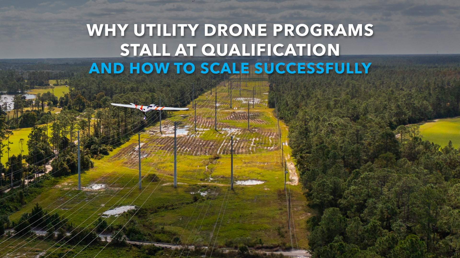
Why Utility Drone Programs Stall at Qualification and How to Scale Successfully
The utility industry is currently witnessing a significant shift in how aerial data is collected…
-
Why Less Is More When It Comes to Data
Companies on a quest to collect more data are learning some hard lessons. Terabytes of…
-
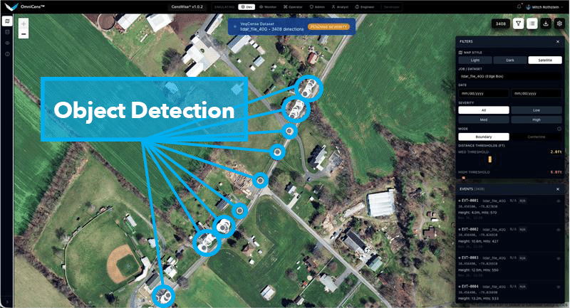
The AI Advantage: How Sentaero Drones Automate Defect Detection
Walk any substation yard or drive along a powerline corridor, and one truth becomes clear:…
-
VegCens, Vegetation Management AI/ML Application
Daytona Beach, FL – Censys Technologies is proud to unveil VegCens, an innovative application designed…
-
AI Processing Drone Data for Next-Level Insights – CensWise
Unlocking the Power of CensWise AI: Processing Drone Data for Next-Level Insights In recent years,…