

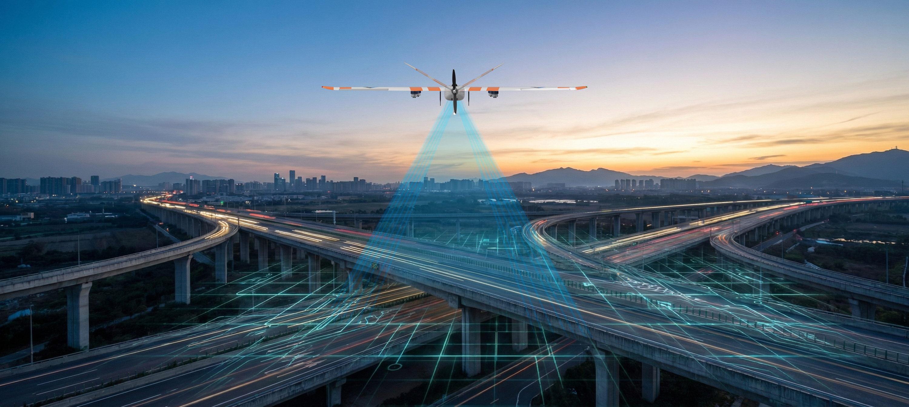
America’s transportation systems are under growing pressure. State departments of transportation and infrastructure directors are asked to modernize aging assets, withstand extreme weather events, and protect public safety, all while operating under tighter budgets and a shrinking workforce. The next generation of infrastructure is not built solely from concrete and steel. It is built from continuous data and intelligent automation by leveraging advanced drone-in-a-box networks.
Traditional inspection and survey methods cannot keep pace with the scale of modern infrastructure corridors. Each mission requires manual travel, complex scheduling, and time-consuming data processing that delays critical maintenance decisions. To overcome these limitations, forward-thinking agencies are turning to automated aerial intelligence. By deploying the Sentaero 6 drone alongside automated EdgeDock nodes, state agencies can establish persistent, statewide aerial networks that turn reactive maintenance into proactive resilience.
Why Do Traditional Inspection Methods Fall Short at Scale?
Every state agency faces the same fundamental challenge: more assets to monitor, fewer personnel to manage them, and rising expectations for safety and environmental stewardship. Legacy inspection models rely heavily on manual truck rolls, manned aviation, and episodic drone flights. These methods create severe operational bottlenecks. Each manual sortie demands crew mobilization, specialized pilot scheduling, and post-flight data transfer that can take days or weeks to yield actionable insights.
When inspections depend on episodic manual operations, blind spots emerge during severe weather, high-wind events, and post-disaster window restorations. Furthermore, multirotor drone docks improve launch speed but fail to deliver adequate range, forcing agencies into dense, costly hardware footprints that quickly erode return on investment. To achieve true operational efficiency, transportation leaders must look beyond the practical limits of localized flights and embrace networked, long-range autonomy.
How Does the Sentaero 6 EdgeDock Network Redefine Corridor Coverage?
The future of infrastructure inspection is not achieved by hiring more traditional surveyors or deploying isolated drone crews. It is achieved through interconnected network architecture. As a proud American manufacturer, Censys Technologies engineered the Sentaero 6 as a multi-hour VTOL (Vertical Take-Off and Landing) fixed-wing platform offering up to two hours of endurance and a 90-mile operational range.
When paired with the rugged EdgeDock node, the system enables automated launch, precision landing, battery charging, and data offloading without human intervention. Crucially, the system supports automated dock-to-dock flights. Because the Sentaero 6 can fly for multiple hours and hop from one dock to another, a single aircraft can service multiple docks across vast corridors. Nodes are typically spaced 40 to 60 miles apart, providing continuous automated coverage over 1,200 to 2,800 square miles per node. As regional clusters link together, they form a robust, statewide aerial network.
What Role Do Edge Analytics and CensWise Play in Transforming Raw Data?
Collecting gigabytes of aerial imagery is only half the battle. The true value lies in how quickly raw data becomes an actionable decision. The EdgeDock integrates high-end graphical processing units (GPUs) to perform on-site edge analytics right at the hangar. By running smart compression and AI inference locally, the system transmits decision-ready outputs directly into agency geographic information systems (GIS), digital twins, and asset management platforms.
Through advanced AI modeling powered by CensWise, agencies eliminate cloud dependency and dramatically accelerate anomaly detection. Whether monitoring bridge deck degradation, tracking highway expansion progress, or assessing right-of-way encroachment, the intelligence layer prioritizes critical alerts so engineering teams can address vulnerabilities before they escalate into costly failures.
How Can State Agencies Shift from Reactive Maintenance to Proactive Resilience?
Adopting automated aerial intelligence requires a clear, phased implementation roadmap. Leading transportation departments are successfully transitioning from pilot clusters to fully integrated statewide networks by aligning their operations with evolving regulatory frameworks, including FAA Beyond Visual Line of Sight (BVLOS) approvals.
By shifting from labor-heavy operational expenditures to predictable capital investments, agencies improve aircraft utilization while driving down cost-per-mile metrics. More importantly, persistent monitoring enhances worker safety by removing personnel from hazardous environments and reducing emergency truck rolls during severe weather events.
Ready to Modernize Your Transportation Infrastructure?
The technology to secure, monitor, and maintain our critical transportation corridors at scale is available today. By combining American-manufactured Sentaero 6 aircraft with intelligent EdgeDock nodes and CensWise analytics, your agency can achieve true operational excellence.
We invite you to download our complete white paper to explore the technical architecture in depth, and schedule a consultation with our sales team to discuss a tailored proof-of-concept for your state network. Let us help you build the future of infrastructure resilience from sky to screen.