CensWise
AI/ML modeling Platform
Remote sensing and data process
automation on the edge
CensWise
AI/ML modeling Platform
Remote sensing and data process automation on the edge
Interested in automating data processing?
How it Works
Aquire
Consuming large amounts of sensor data including raw or compressed images and numerical outputs
Analyze
Segmenting data sets into logical buckets for classification, assessment and evaluation utilizing deep learning
Automate
Algorithms are chained to produce automated AI models and generate intelligent outputs in many forms
How it Works
Acquire
Consuming large amounts of sensor data including raw or compressed images and numerical outputs
Analyze
Segmenting data sets into logical buckets for classification, assessment and evaluation utilizing deep learning
Automate
Algorithms are chained to produce automated AI models and generate intelligent outputs in many forms
Solutions For:
UAS Service
Providers
Enterprise
Organizations
Government
Entities
Our innovative CensWise™ technology harnesses the power of AI to revolutionize your remote sensing needs. Currently deployed in the fields stereoscopic measuring, railroad inspection, and broadly across other fields, CensWise™ can be the solution you need. Click “Contact Us” below for more information and quotes.
Solutions For:
UAS Service
Providers
Enterprise
Organizations
Government
Entities
Get In Touch
FAQ
Can I create a custom solution?
Yes. Our unique data processing allows us to develop, train and deploy custom AI/ML models quickly.
What is edge processing?
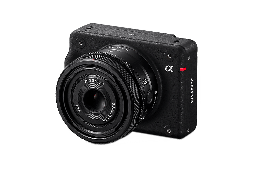
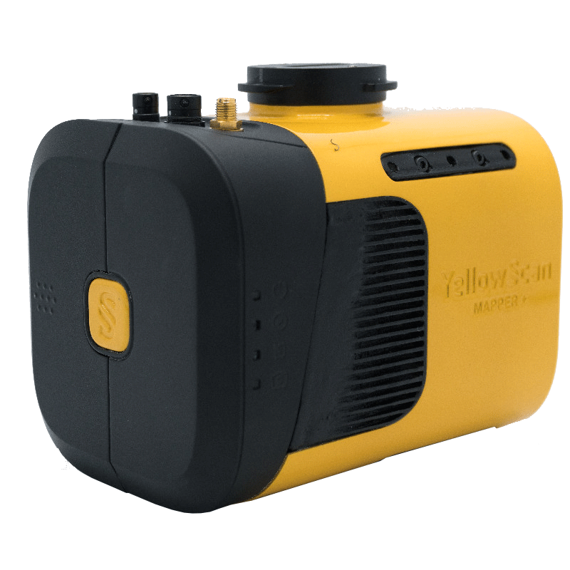
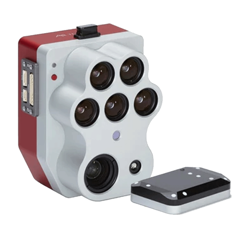
Have data analyzed as soon is it is captured. There is no need to pull an SD card and upload data into a software platform.
How long does it take to train an AI/ML model?
A few days depending on the model.
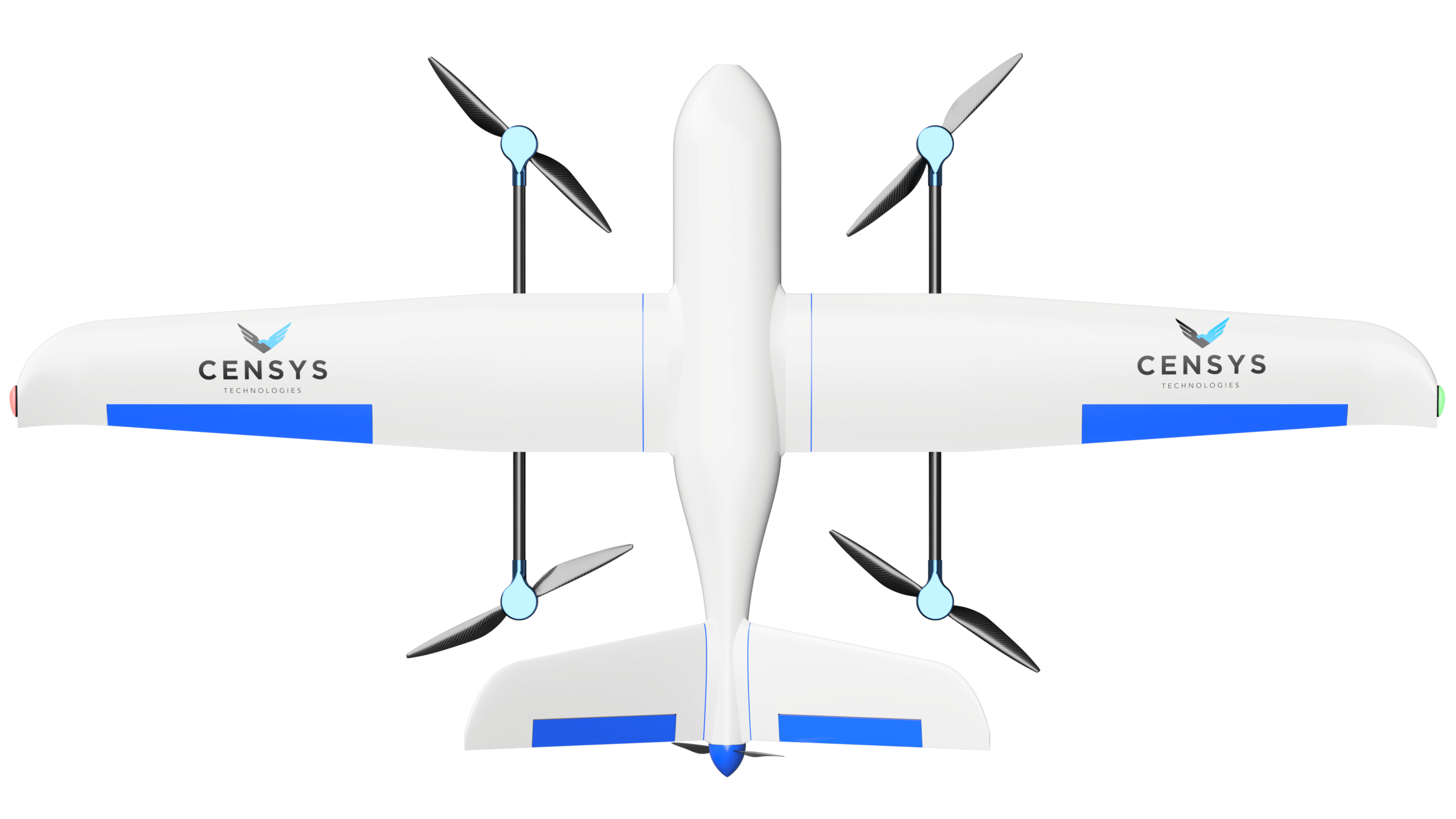
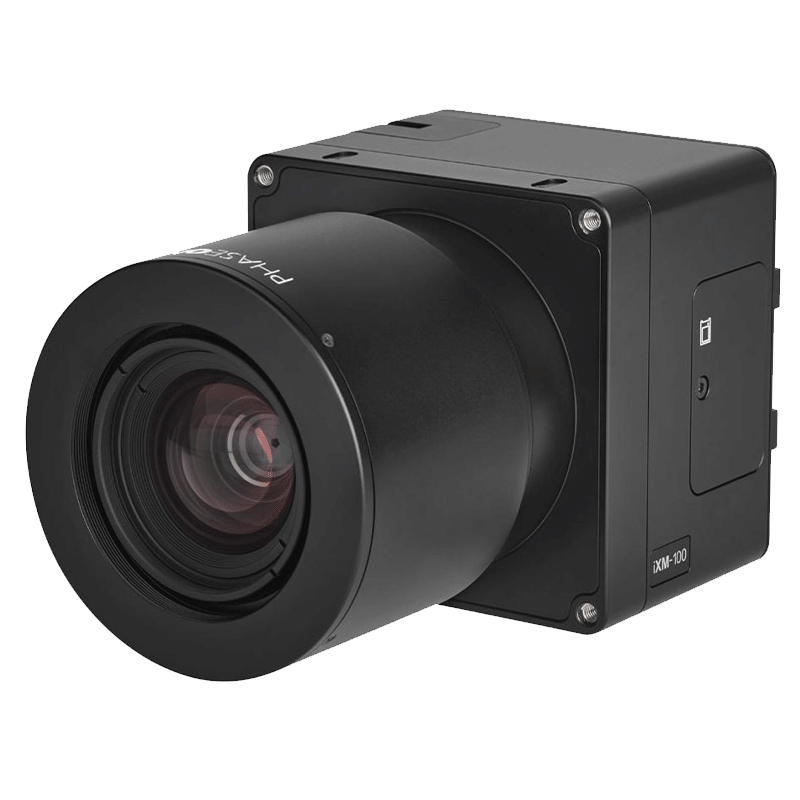
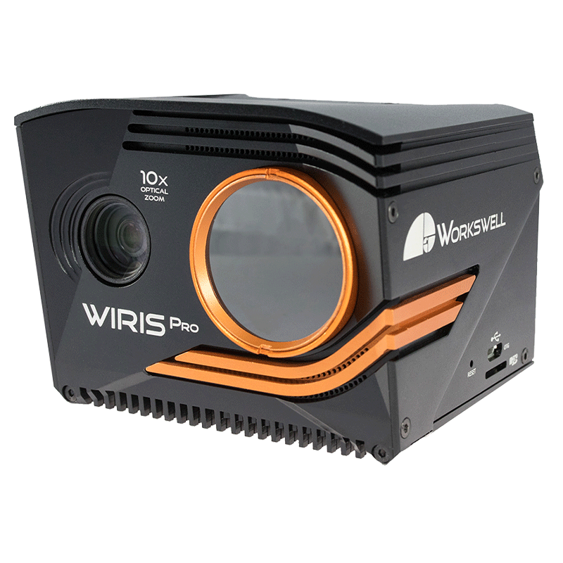
Does CensWise only work onboard the Sentaero?
No. We can edge process on an array of cameras and systems. A dash cam on a truck identifying cracks in the road is an example.