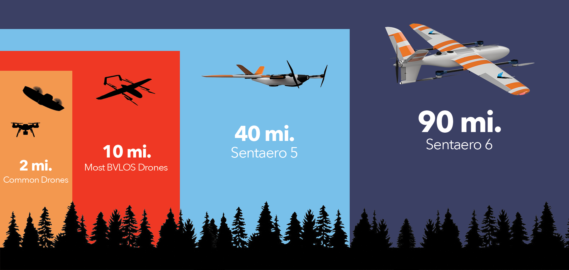
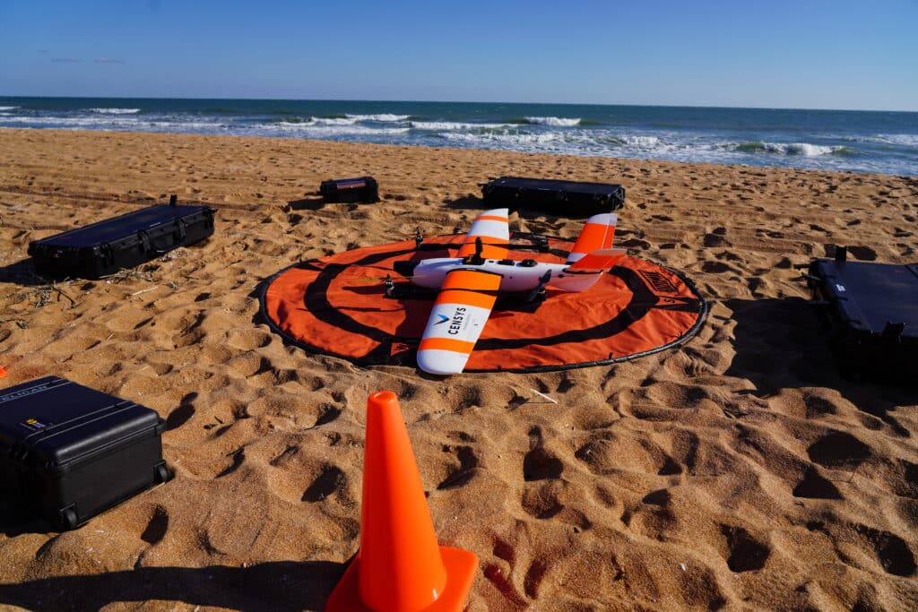
Sentaero 5
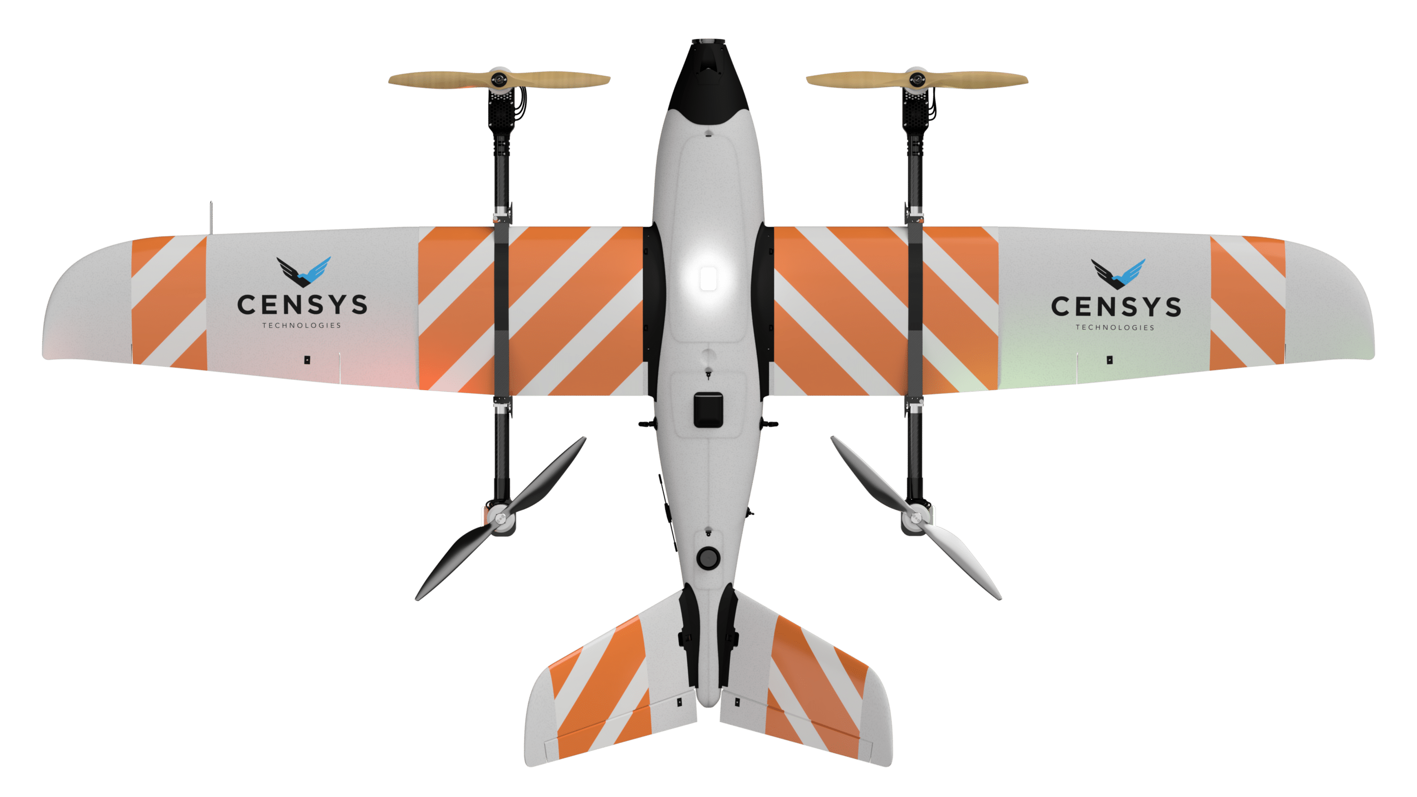
1 hr
Endurance
40 mi
Range
25 mph
Max Wind
25 lbs
MTOW
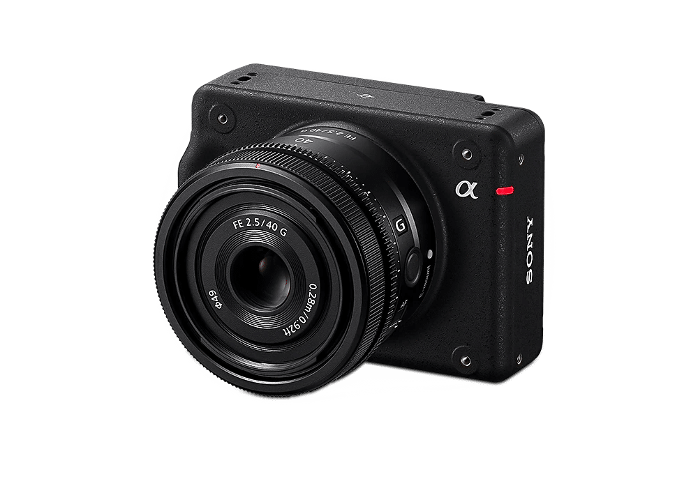
Sony ILX-LR1
- 61 MP
- 28 mm Lens
- Geo-Tagged Photos
- PPK
- Manufacturer Specs
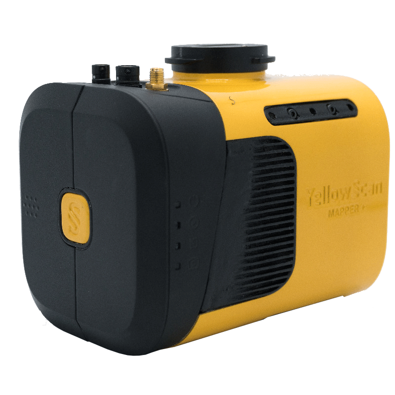
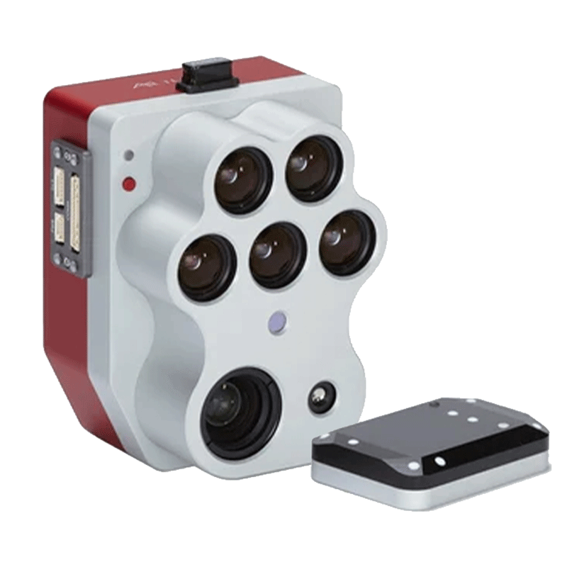
Mapper+ LiDAR
- Version B: LiDAR
- Version C: LiDAR & RGB
- 240 shots per second
- Up to 3 echos per shot
- Manufacturer Specs
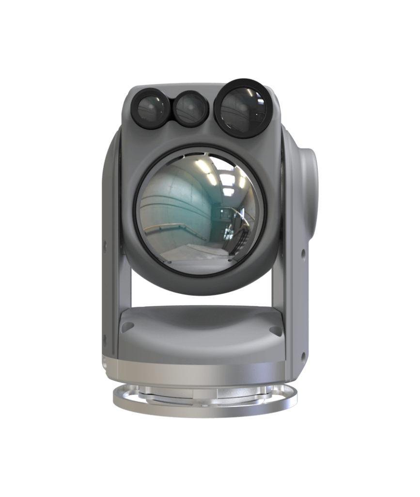
Raptor Gimbal
- EO/IR
- 80x zoom
- 360 degree continuous
- Autonomus Tracking
- 1080p
- Manufacturer Specs
Altum PT
- 2,604 x 1,544 Resolution
- 12.4 MP RGB
- 5cm Multi-spec GSD
- Manufacturer Specs
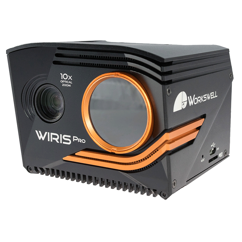
Wiris Pro
- 18, 32, 45, 69 Degree Lens
- + or – 2 Degrees C Accuracy
- 640 x 512 IR Resolution
- Manufacturer Specs
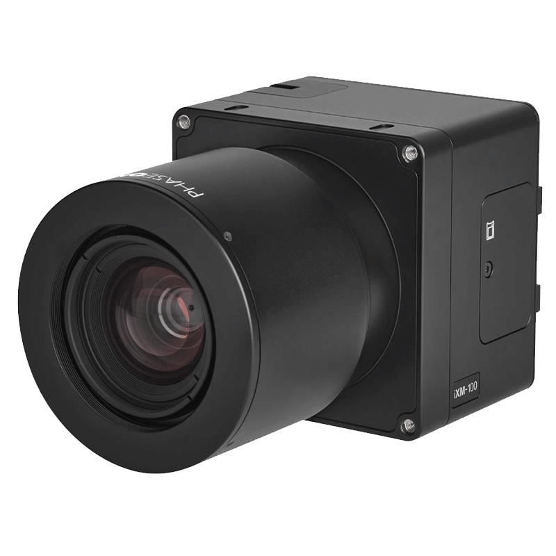
PhaseOne GS-120
- CMOS Global Shutter
- 12,768 x 9,564 Resolution
- 1/16,000 Shutter Speed
- Manufacturer Specs
On-the-Job Training
We come to you & providing hands-on support ensuring your operational goals become a reality.
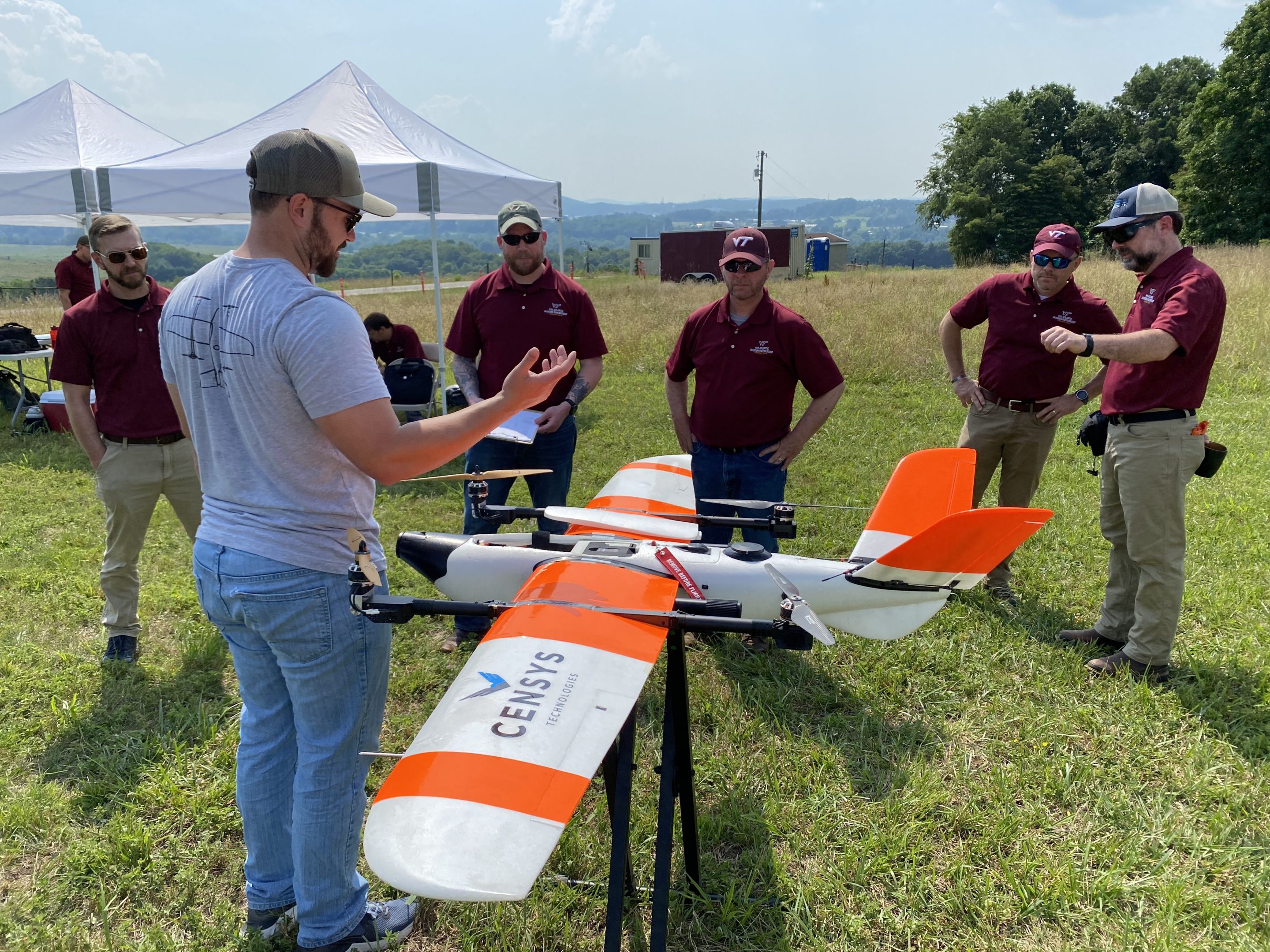

Waiver Services
Our waiver services leverage years of experience in crafting successful waivers, ensuring your Part 107 waivers are approved.
Your Mission
Our Expertise
Your mission is our priority. From initial setup to ongoing support, we’re with you every step of the way—providing On-the-Job Training (OJT), assisting with waiver services, and ensuring you have the tools and knowledge to succeed. We take the time to understand your unique needs and deliver a tailored solution that exceeds expectations.
Sentaero Safety Features
Detect-&-Avoid
On optical, forward facing, system that can autonomously avoid crewed aircraft.
Stall Prevention
If the airspeed drops below 30 mph, then the aircraft will quadchute to prevent a stall.
RTL Funcitions
Lose connection for to long? The Sentaero will autonomously return to its home or rally point.
Benefits & Features
BVLOS
The Sentaero leads the industry with FAA approvals & delivers unparalleled value.
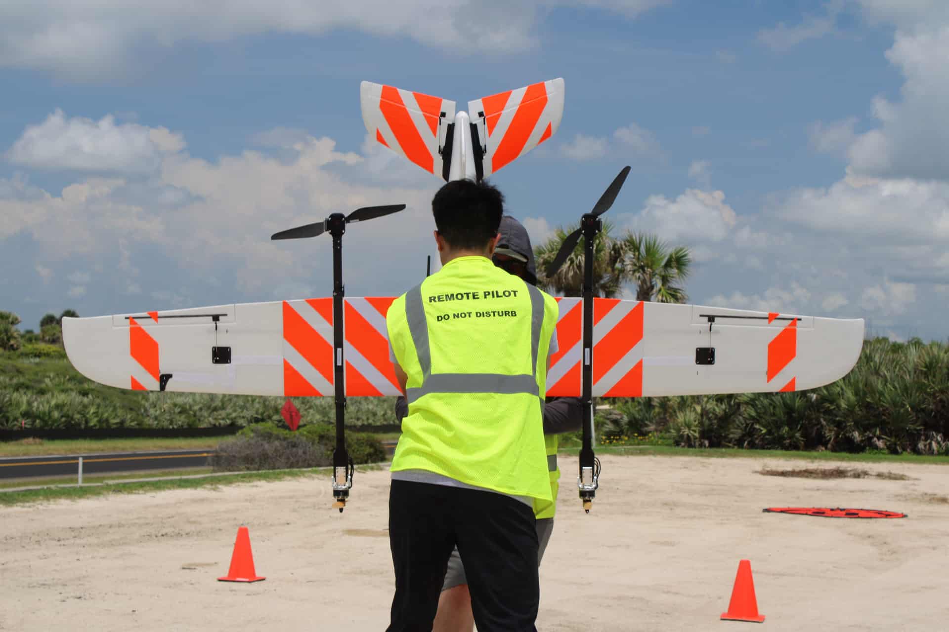
Universal Payloads
With unmatched payload variety, the Sentaero easily & quickly adapts to any mission.
BVLOS Success Stories
32-Mile Distribution Line
Vegetation ROW Inspection
500-Mile Hurricane Helene
Emergency Response
30-Mile Waterway
Algae Bloom Detection & Quantification

18-Mile Coastline Survey
Beach Erosion Mapping
150 Acre Fire
Emergency Response

27-Mile Transmission Line
Inspection
