News
Drone Expert Dr. William Austin Discusses Alleged Drone Sightings and Technology on Fox News
In a recent appearance on Fox & Friends, drone expert Dr. William Austin took the spotlight to address the rising concern over alleged drone sightings in New Jersey. With drone sightings becoming a frequent topic of discussion, many residents have raised questions...
When S&T and HSWERX Partner, the Results Are Out of Sight
Release Date: October 10, 2024 Click here to see original article S&T and HSWERX recently brought industry partners together to showcase aerial solutions in support of U.S. Customs and Border Protection (CBP). More opportunities for public-private partnerships...
Hurricane Helene Sentaero Pilot Response
Hurricane Helene Response: Sentaero Pilots Collect Critical Data in Storm's Aftermath In the wake of Hurricane Helene, the devastation left behind required swift and efficient action to assess damages and coordinate emergency response. To meet this challenge, two...
OOP & OOMV BVLOS Unlocked
New FAA BVLOS approvals expand drone capabilities with operations over people (OOP) and moving vehicles (OOMV), without the need of visual observers. Daytona Beach, FL – August 9, 2024 – Censys Technologies, a leader in BVLOS (Beyond Visual Line of Sight) solutions,...
New LiDAR Launched Mapper+ Version C
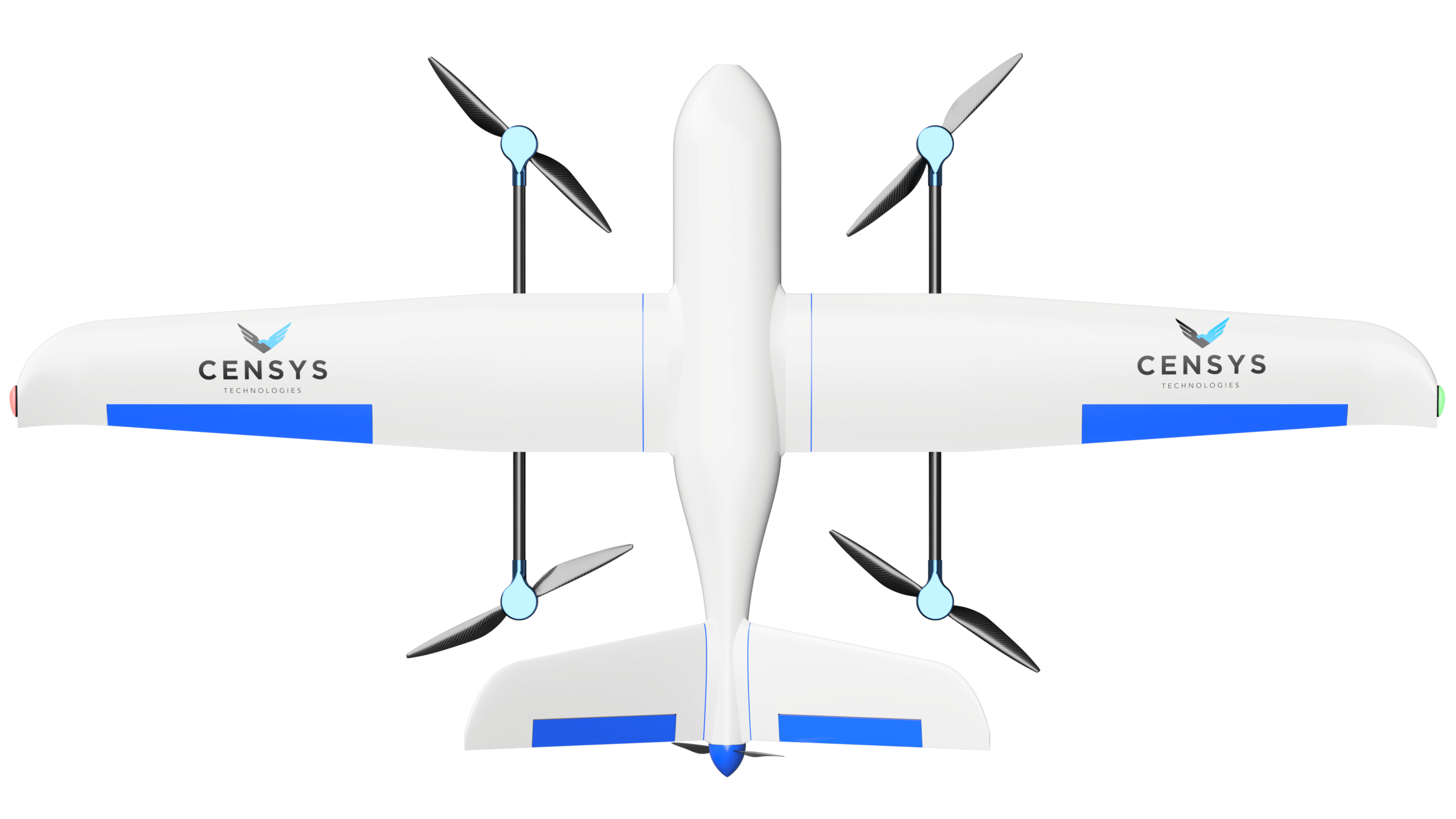
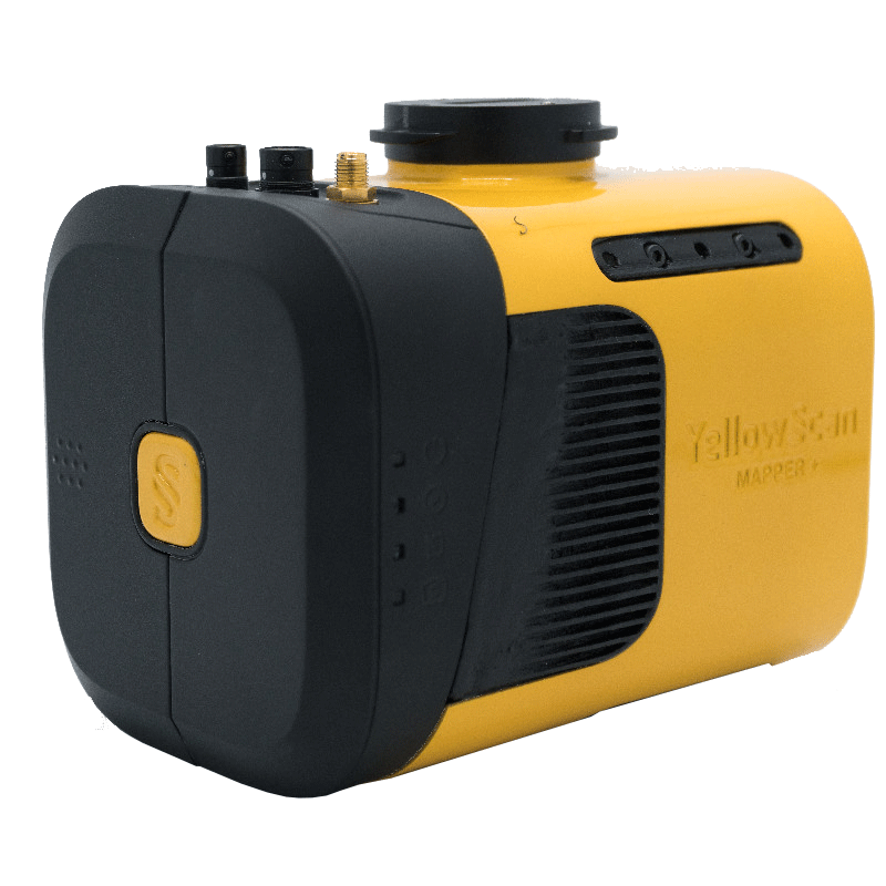
Censys Technologies now offers the Mapper+ Version C, YellowScan’s cutting-edge UAS LiDAR system. Integrated with the Sentaero 5, this new payload introduces new features that enable enhanced LiDAR capabilities. Censys extends its utility across a variety of...
VegCens, Vegetation Management AI/ML Application
Daytona Beach, FL – Censys Technologies is proud to unveil VegCens, an innovative application designed to complement its flagship CensWise AI/ML software. Integrating photogrammetry and Lidar data, VegCens identifies and measures vegetation encroachment and vitality...
Drones & Agriculture Mesh at WarrenUAS to Boost Future Farm Production
As drone training at Warren County Community College (Warren UAS) has grown to be one of the leading programs in the country, leaders there are establishing expertise and training modules in niche areas as they build relationships with industry and government leaders...
Valuable BVLOS Waivers for Mapping and Surveying
In the world of drone operations, the ability to fly Beyond Visual Line of Sight (BVLOS) opens up a realm of possibilities for mapping and surveying projects. However, obtaining the necessary waivers is crucial to ensure safe and efficient operations. Let's delve into...
ODOT to Test Advanced Drone Operations along U.S. Route 33
COLUMBUS – The Ohio Department of Transportation’s Uncrewed Aircraft Systems (UAS) Center recently received approval from the Federal Aviation Administration (FAA) to fly a large drone over a portion of the U.S. 33 corridor northwest of Columbus. This special...