by Censys Technologies | Jun 27, 2024 | CensWise, Company News
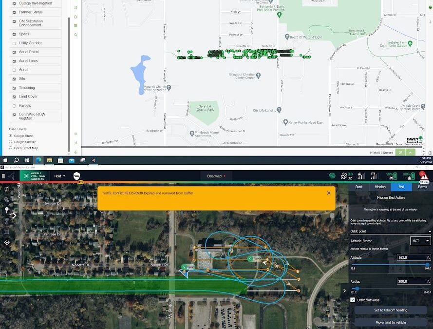
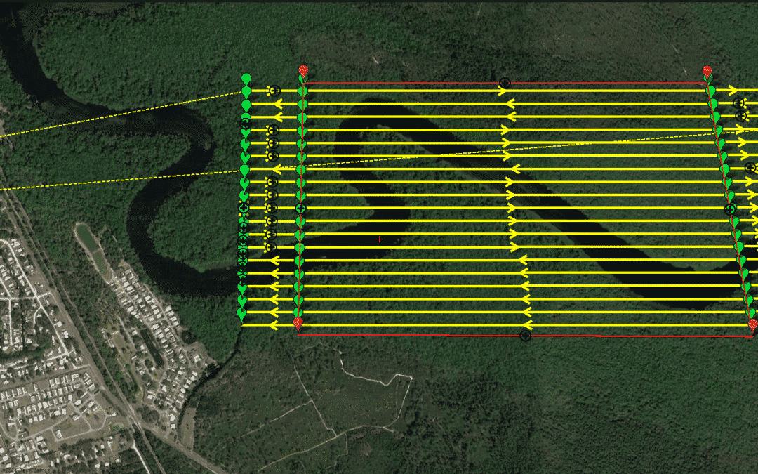
Daytona Beach, FL – Censys Technologies is proud to unveil VegCens, an innovative application designed to complement its flagship CensWise AI/ML software. Integrating photogrammetry and Lidar data, VegCens identifies and measures vegetation encroachment and vitality...
by Censys Technologies | May 14, 2024 | UAS Industry
As drone training at Warren County Community College (Warren UAS) has grown to be one of the leading programs in the country, leaders there are establishing expertise and training modules in niche areas as they build relationships with industry and government leaders...

by Censys Technologies | Mar 19, 2024 | Regulatory Updates
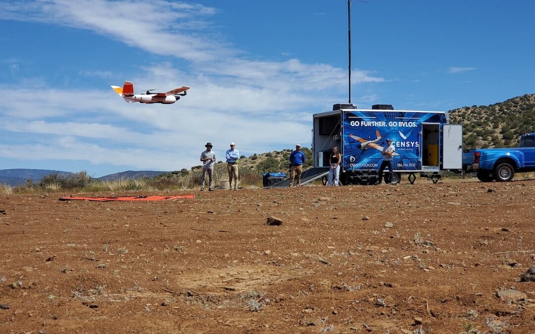
In the world of drone operations, the ability to fly Beyond Visual Line of Sight (BVLOS) opens up a realm of possibilities for mapping and surveying projects. However, obtaining the necessary waivers is crucial to ensure safe and efficient operations. Let’s...

by Censys Technologies | Mar 4, 2024 | Regulatory Updates, UAS Industry
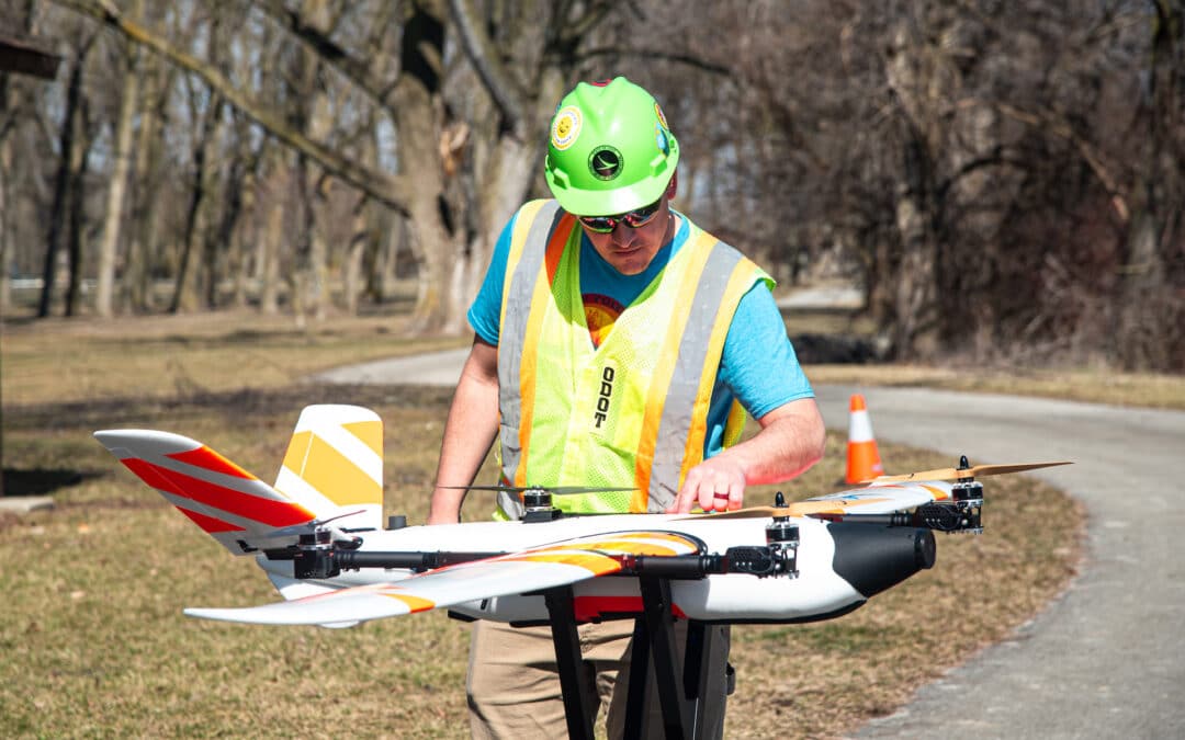
COLUMBUS – The Ohio Department of Transportation’s Uncrewed Aircraft Systems (UAS) Center recently received approval from the Federal Aviation Administration (FAA) to fly a large drone over a portion of the U.S. 33 corridor northwest of Columbus. This special...

by Censys Technologies | Feb 12, 2024 | Sentaero Products, UAS Industry
Censys Technologies, a leading innovator in the field of uncrewed systems, is proud to announce the launch of the Sentaero 5 drone, an evolution that enables beyond visual line of sight (BVLOS) operations through cellular connectivity and remote ID compliance. The...


